Remote sensing


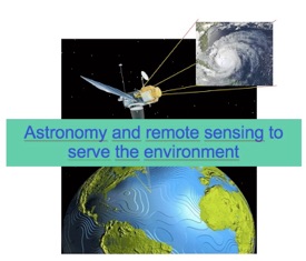

Remote sensing means measuring an object at a distance without physical contact with it. In this section of podcast, fundamentals such as spectral signatures, real and false color image, ... are introduced.
These exercises are specifically targeted for K12 level student, just to introduce the Remote Sensing concepts, and some practical exercise with “Leoworks” a free software from ESA


A PowerPoint presentation to introduce the concept of remote sensing (passive and active), radiometric answer, real and false color image, ....


PW0: Introduction to satellite image.
A PowerPoint presentation to introduce the concept of satellite image. Also a document for the student and for the teacher. How we can build a image (without the leoworks soft)


PW 1 : Images in true and false colors of the town of Cairo as it is seen by the Landsat satellite (LEOWORKS)


Objective :
-
 First contact to the Leoworks software
 -
How to use the « Enhance – Stretching » function in order to increase the contrast of an image.
-
How to visualize the histogram of an image and statistical functions.
-
How to represent an image (RVB) in true and false colors.
PW2: Spectral responses starting from true or false color images (LEOWORKS)
Objectives :
-
How to record radiometric values for different types of landscapes (ground, water, vegetation, urban areas,…) in the spectral bands of blue, green, red and NI (near infrared).
-
How to encode these values in a spreadsheet
-
How to make a graphic with the radiometric values according to the spectral bands.


PW 3: Measuring distances on an image (LEOWORKS)
Objectives :
-
First contact with “Leoworks”.
-
Using measurement tools for distances, perimeters and surfaces areas.


The European Earth Observation Web Site for Secondary Schools


To download the LEOWORKS software
Presentation and suggestions for pedagogical exploitation of the CD-ROM :
« Guyana seen through the clouds » (ESA)


Exercises about ozone


PHYSICS OF RADIATION
IN REMOTE SENSING


Earth Observation in the classroom
only available in French and Dutch

Measurement of the Moon radius


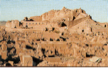
Practical work about Earthquake: Devastation and Recovery Bam, Iran