PW2: Spectral responses starting from true or false colour images


Objectives :
-
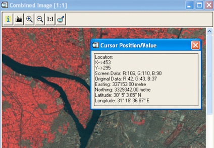
 How to record radiometric values for different types of landscapes (ground, water, vegetation, urban areas,…) in the spectral bands of blue, green, red and NI (near infrared).
 -
How to encode these values in a spreadsheet
-
How to make a graphic with the radiometric values according to the spectral bands.